The term Down East refers to the coast of Maine from Penobscot Bay to the Canadian border.
"Down East" can be best described as any point on the coast between Searsport and the Canadian border. At times, it is jokingly referred to as any point along the coast, east of the speaker.
The Down East: The Magazine of Maine FAQ explains the origin of the term: "When ships sailed from Boston to ports in Maine (which were to the east of Boston), the wind was at their backs, so they were sailing downwind, hence the term 'Down East.' And it follows that when they returned to Boston they were sailing upwind; many Mainers still speak of going 'up to Boston,' despite the fact that the city lies approximately 50 miles to the south of Maine’s southern border."[1]
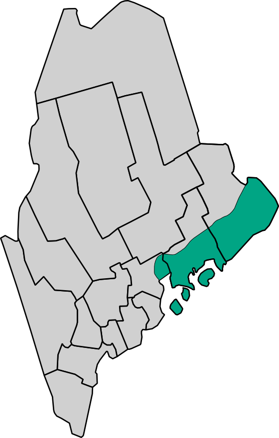
As a cultural region, Downeast Maine encompasses the rural communities of Hancock and Washington counties.[2] Principal Downeast towns include Busckport, Lubec, Calais, Eastport and Machias. Bar Harbor, Blue Hill and Ellsworth can also be considered Downeast communities. The term generally excludes Mount Desert Island, although usage varies. Villages in the Schoodic area include Gouldsboro, Winter Harbor, Prospect Harbor, Steuben and Milbridge.
There are three National Wildlife Refuges (NWRs) in the region: Cross Island National Wildlife Refuge, Moosehorn National Wildlife Refuge and Maine Coastal Islands National Wildlife Refuge, which is in Steuben (formerly Petit Manan NWR).
References[]
- ↑ Downeast.com, FAQ
- ↑ Woodard, Colin. The Lobster Coast. New York: Viking/Penguin, 2004, pp. 27–32 (for full discussion of the term and the cultural region). ISBN 0-670-03324-3.
External Links[]